
吊水壶村 topographic map
Interactive map
Click on the map to display elevation.
About this map
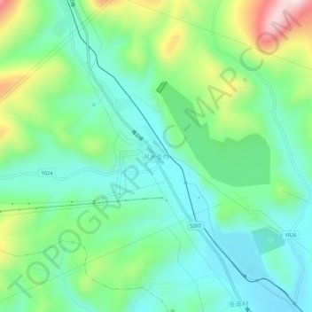
Name: 吊水壶村 topographic map, elevation, terrain.
Location: 吊水壶村, 白山市, 吉林省, 134300, 中国 (41.96753 126.39269 42.00753 126.43269)
Average elevation: 1,985 ft
Minimum elevation: 1,598 ft
Maximum elevation: 2,940 ft