
Breixa topographic map
Interactive map
Click on the map to display elevation.
About this map
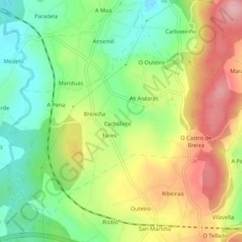
Name: Breixa topographic map, elevation, terrain.
Location: Breixa, Silleda, Deza, Pontevedra, Galicia, España (42.72208 -8.28278 42.74318 -8.24902)
Average elevation: 1,227 ft
Minimum elevation: 971 ft
Maximum elevation: 1,545 ft