
Santa Rita topographic map
Interactive map
Click on the map to display elevation.
About this map
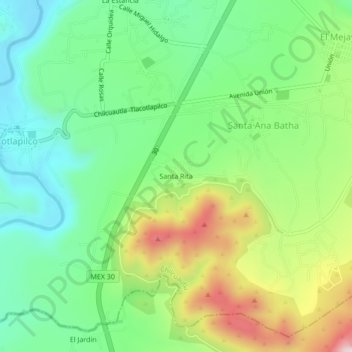
Name: Santa Rita topographic map, elevation, terrain.
Location: Santa Rita, Santa Ana Batha, Chilcuautla, Hidalgo, México (20.35159 -99.22122 20.39159 -99.18122)
Average elevation: 6,371 ft
Minimum elevation: 5,827 ft
Maximum elevation: 7,365 ft