
Are Halli topographic map
Interactive map
Click on the map to display elevation.
About this map
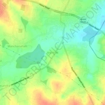
Name: Are Halli topographic map, elevation, terrain.
Location: Are Halli, Anekal, Bengaluru Urban, Karnataka, 562107, India (12.74380 77.74634 12.78380 77.78634)
Average elevation: 2,894 ft
Minimum elevation: 2,822 ft
Maximum elevation: 2,976 ft
Other topographic maps
Click on a map to view its topography, its elevation and its terrain.
Gattahalli
Gattahalli, Anekal, Bangalore Urban, Karnataka, India
Average elevation: 2,969 ft