
Therlam topographic map
Interactive map
Click on the map to display elevation.
About this map
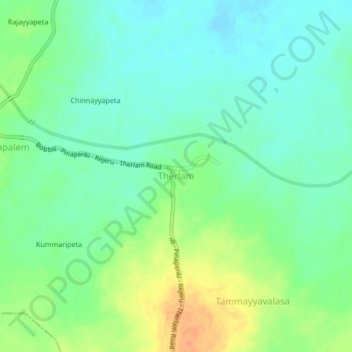
Name: Therlam topographic map, elevation, terrain.
Location: Therlam, Vizianagaram, Andhra Pradesh, 532124, India (18.46670 83.48416 18.50670 83.52416)
Average elevation: 322 ft
Minimum elevation: 276 ft
Maximum elevation: 400 ft