
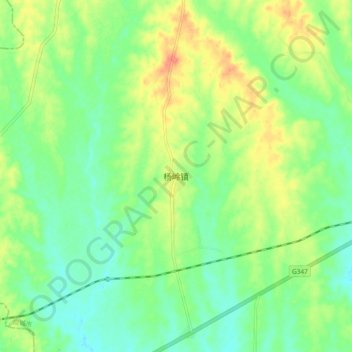
杨岭镇 topographic map
Interactive map
Click on the map to display elevation.
About this map
Name: 杨岭镇 topographic map, elevation, terrain.
Location: 杨岭镇, 应城市, 孝感市, 湖北省, 中国 (30.86270 113.35915 30.94270 113.43915)
Average elevation: 151 ft
Minimum elevation: 92 ft
Maximum elevation: 240 ft