
Taman Tanjung Ketapang topographic map
Interactive map
Click on the map to display elevation.
About this map
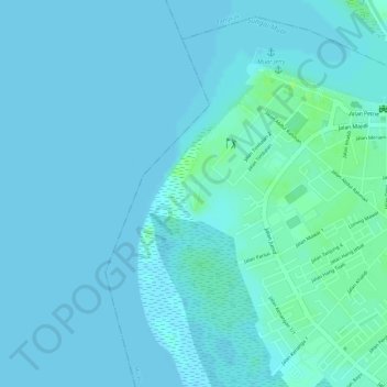
Name: Taman Tanjung Ketapang topographic map, elevation, terrain.
Location: Taman Tanjung Ketapang, Muar, Johor, Malaysia (2.03904 102.54660 2.04134 102.54777)
Average elevation: 10 ft
Minimum elevation: 0 ft
Maximum elevation: 36 ft
Other topographic maps
Click on a map to view its topography, its elevation and its terrain.
Parit Perupok
Parit Perupok, Muar, Johor, 84000, Malaysia
Average elevation: 23 ft
Parit Keroma
Parit Keroma, Muar, Johor, 84000, Malaysia
Average elevation: 23 ft