
Katara topographic map
Interactive map
Click on the map to display elevation.
About this map
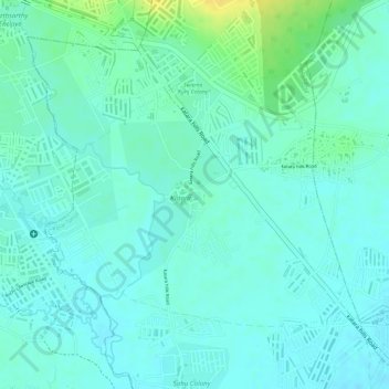
Name: Katara topographic map, elevation, terrain.
Location: Katara, Kolar Tahsil, Bhopal District, Madhya Pradesh, India (23.16961 77.47980 23.18795 77.50346)
Average elevation: 1,516 ft
Minimum elevation: 1,490 ft
Maximum elevation: 1,572 ft