
潭江镇 topographic map
Interactive map
Click on the map to display elevation.
About this map
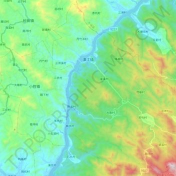
Name: 潭江镇 topographic map, elevation, terrain.
Location: 潭江镇, 丰顺县, 梅州市, 广东省, 中国 (23.97072 116.47599 24.15904 116.69096)
Average elevation: 1,178 ft
Minimum elevation: 62 ft
Maximum elevation: 4,455 ft
Other topographic maps
Click on a map to view its topography, its elevation and its terrain.