Geolocate

Rapar topographic map

Click on the map to display elevation.

About this map

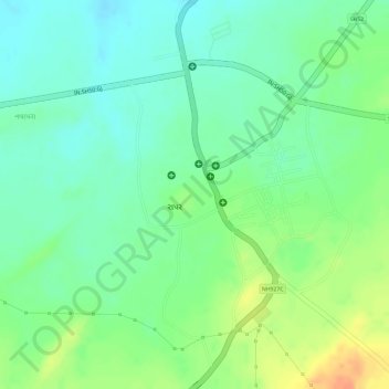
Name: Rapar topographic map, elevation, terrain.

Location: Rapar, Rapar Taluka, Kachchh, Gujarat, India (23.56500 70.63953 23.57821 70.65370)

Average elevation: 217 ft

Minimum elevation: 157 ft

Maximum elevation: 302 ft

Gear up for your next adventure:

🩹Survival Bandages - High‑quality bandages for emergencies
🏕️Family Camping Gear - Essentials for group camping trips
🦟Ultrasonic Repellers - Create a bug-free zone at your camp or rest stop
🕶️Glacier Sunglasses - Side shields to protect eyes from high-altitude snow glare
🎒Waterproof Dry Bags - Keep your electronics and maps dry inside your pack

As an Amazon Associate, this site earns from qualifying purchases at no extra cost to you.