
Thank you for supporting this site ❤️
Make a donation
Make a donation
Gear up for your next adventure:
As an Amazon Associate, this site earns from qualifying purchases at no extra cost to you.
Roaguía topographic map
Click on the map to display elevation.
Thank you for supporting this site ❤️
Make a donation
Make a donation
Gear up for your next adventure:
As an Amazon Associate, this site earns from qualifying purchases at no extra cost to you.
About this map
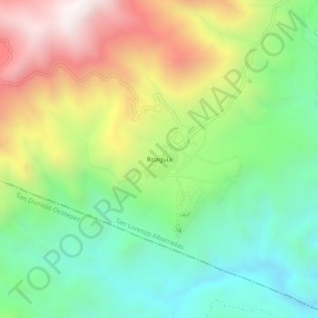
Name: Roaguía topographic map, elevation, terrain.
Location: Roaguía, San Lorenzo Albarradas, Oaxaca, Mexico (16.85250 -96.29944 16.89250 -96.25944)
Average elevation: 5,869 ft
Minimum elevation: 4,347 ft
Maximum elevation: 8,225 ft
Thank you for supporting this site ❤️
Make a donation
Make a donation
Gear up for your next adventure:
As an Amazon Associate, this site earns from qualifying purchases at no extra cost to you.