
三峡副坝 topographic map
Interactive map
Click on the map to display elevation.
About this map
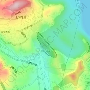
Name: 三峡副坝 topographic map, elevation, terrain.
Location: 三峡副坝, 秭归县, 宜昌市, 湖北省, 中国 (30.81539 110.97803 30.82323 110.98498)
Average elevation: 531 ft
Minimum elevation: 203 ft
Maximum elevation: 1,109 ft