
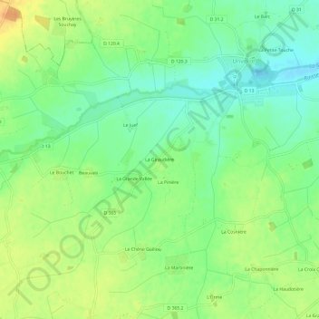
La Giraudière topographic map
Interactive map
Click on the map to display elevation.
About this map
Name: La Giraudière topographic map, elevation, terrain.
Average elevation: 571 ft
Minimum elevation: 518 ft
Maximum elevation: 630 ft
Other topographic maps
Click on a map to view its topography, its elevation and its terrain.
Le Barc
France > Centre-Val de Loire > Eure-et-Loir > Unverre
Le Barc, Unverre, Châteaudun, Eure-et-Loir, Centre-Val de Loire, France métropolitaine, 28160, France
Average elevation: 564 ft
La Fosse Coupe-Choux
France > Centre-Val de Loire > Eure-et-Loir > Unverre > La Fosse Coupe-Choux
La Fosse Coupe-Choux, Unverre, Châteaudun, Eure-et-Loir, Centre-Val de Loire, France métropolitaine, 28160, France
Average elevation: 581 ft