
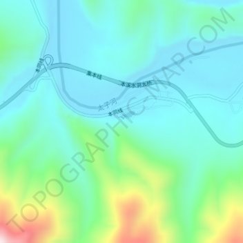
本溪水洞 topographic map
Interactive map
Click on the map to display elevation.
About this map
Name: 本溪水洞 topographic map, elevation, terrain.
Location: 本溪水洞, 本同线, 谢家崴子, 小市镇, 本溪满族自治县, 本溪市, 辽宁省, 中国 (41.29682 124.07144 41.29692 124.07154)
Average elevation: 915 ft
Minimum elevation: 561 ft
Maximum elevation: 2,178 ft