
sree krishna swami temple pond topographic map
Interactive map
Click on the map to display elevation.
About this map
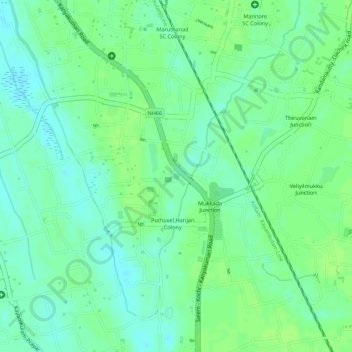
Name: sree krishna swami temple pond topographic map, elevation, terrain.
Average elevation: 30 ft
Minimum elevation: 7 ft
Maximum elevation: 43 ft
Other topographic maps
Click on a map to view its topography, its elevation and its terrain.
Kayamkulam
India > Kerala > Karthikappally > Kayamkulam
Kayamkulam, Karthikappally, Alappuzha, Kerala, 690502, India
Average elevation: 26 ft