
Mazouna topographic map
Interactive map
Click on the map to display elevation.
About this map
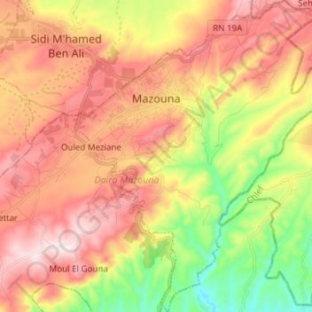
Name: Mazouna topographic map, elevation, terrain.
Location: Mazouna, Daïra Mazouna, Relizane, RADP (36.05740 0.84790 36.15802 0.94580)
Average elevation: 1,316 ft
Minimum elevation: 361 ft
Maximum elevation: 2,162 ft