
金科村 topographic map
Interactive map
Click on the map to display elevation.
About this map
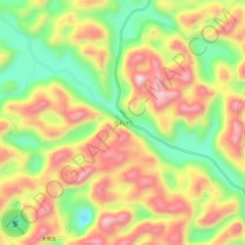
Name: 金科村 topographic map, elevation, terrain.
Location: 金科村, 克度, 平塘县, 黔南布依族苗族自治州, 贵州省, 558000, 中国 (25.64937 106.85603 25.68937 106.89603)
Average elevation: 3,202 ft
Minimum elevation: 2,484 ft
Maximum elevation: 3,878 ft
Other topographic maps
Click on a map to view its topography, its elevation and its terrain.