
Kissa topographic map
Interactive map
Click on the map to display elevation.
About this map
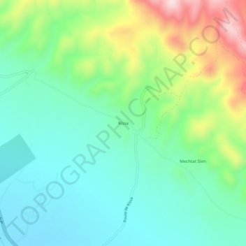
Name: Kissa topographic map, elevation, terrain.
Location: Kissa, daïra El Kouif, Tébessa, Algérie (35.46056 8.08911 35.50056 8.12911)
Average elevation: 3,025 ft
Minimum elevation: 2,638 ft
Maximum elevation: 3,937 ft