
Ojuela topographic map
Interactive map
Click on the map to display elevation.
About this map
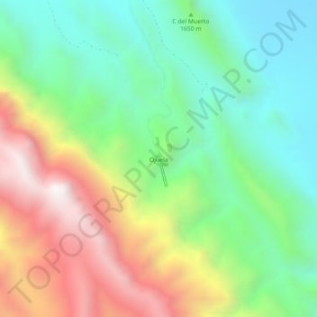
Name: Ojuela topographic map, elevation, terrain.
Location: Ojuela, Mapimí, Durango, México (25.77358 -103.81127 25.81358 -103.77127)
Average elevation: 5,607 ft
Minimum elevation: 4,039 ft
Maximum elevation: 8,179 ft
Other topographic maps
Click on a map to view its topography, its elevation and its terrain.