
Lago di Castel San Vincenzo topographic map
Interactive map
Click on the map to display elevation.
About this map
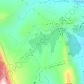
Name: Lago di Castel San Vincenzo topographic map, elevation, terrain.
Average elevation: 2,362 ft
Minimum elevation: 1,762 ft
Maximum elevation: 3,947 ft