
Castel Boglione topographic map
Interactive map
Click on the map to display elevation.
About this map
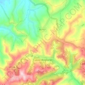
Name: Castel Boglione topographic map, elevation, terrain.
Location: Castel Boglione, AT, Piemont, Italy (44.70703 8.35050 44.75234 8.40101)
Average elevation: 935 ft
Minimum elevation: 469 ft
Maximum elevation: 1,483 ft