
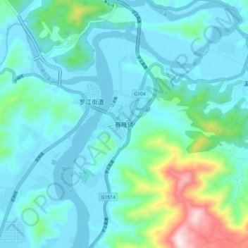
赛岐镇 topographic map
Interactive map
Click on the map to display elevation.
About this map
Name: 赛岐镇 topographic map, elevation, terrain.
Location: 赛岐镇, 福安市, 宁德市, 福建省, 中国 (26.92727 119.63948 27.00727 119.71948)
Average elevation: 384 ft
Minimum elevation: 0 ft
Maximum elevation: 2,359 ft
Other topographic maps
Click on a map to view its topography, its elevation and its terrain.