
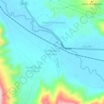
Queromarca Urpaya topographic map
Interactive map
Click on the map to display elevation.
About this map
Name: Queromarca Urpaya topographic map, elevation, terrain.
Location: Queromarca Urpaya, Tinta, Canchis, Cusco, Peru (-14.20512 -71.39160 -14.16512 -71.35160)
Average elevation: 11,631 ft
Minimum elevation: 11,381 ft
Maximum elevation: 12,822 ft