Bois de Long topographic map
Interactive map
Click on the map to display elevation.
About this map
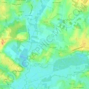
Name: Bois de Long topographic map, elevation, terrain.
Average elevation: 627 ft
Minimum elevation: 584 ft
Maximum elevation: 709 ft

Click on the map to display elevation.
Name: Bois de Long topographic map, elevation, terrain.
Average elevation: 627 ft
Minimum elevation: 584 ft
Maximum elevation: 709 ft