
Killin topographic map
Interactive map
Click on the map to display elevation.
About this map
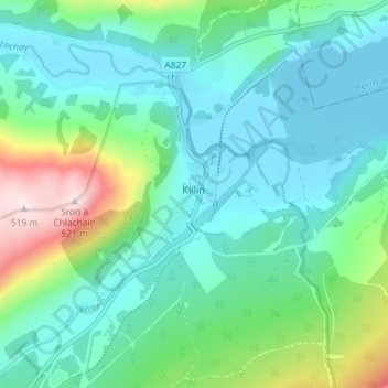
Name: Killin topographic map, elevation, terrain.
Location: Killin, Stirling, Schotland, FK21 8UT, VK (56.44624 -4.33946 56.48624 -4.29946)
Average elevation: 656 ft
Minimum elevation: 348 ft
Maximum elevation: 1,706 ft