
济南新旧动能转换起步区 topographic map
Interactive map
Click on the map to display elevation.
About this map
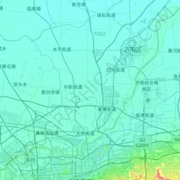
Name: 济南新旧动能转换起步区 topographic map, elevation, terrain.
Location: 济南新旧动能转换起步区, 天桥区, 济南市, 山东省, 250000, 中国 (36.72571 116.85853 37.03558 117.38900)
Average elevation: 89 ft
Minimum elevation: 46 ft
Maximum elevation: 889 ft
Other topographic maps
Click on a map to view its topography, its elevation and its terrain.