
Massongex topographic map
Interactive map
Click on the map to display elevation.
About this map
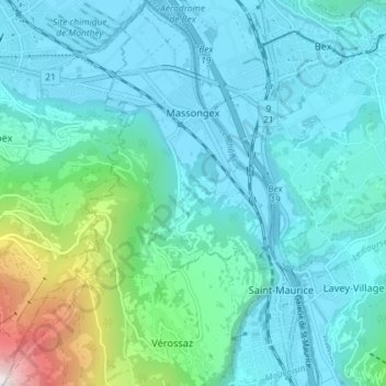
Name: Massongex topographic map, elevation, terrain.
Location: Massongex, Saint-Maurice, Vallés, 1869, Suiza (46.20728 6.95233 46.25731 7.00281)
Average elevation: 2,139 ft
Minimum elevation: 1,293 ft
Maximum elevation: 6,683 ft