
Corredoura topographic map
Interactive map
Click on the map to display elevation.
About this map
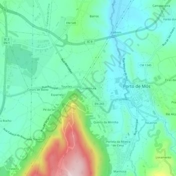
Name: Corredoura topographic map, elevation, terrain.
Average elevation: 587 ft
Minimum elevation: 322 ft
Maximum elevation: 1,358 ft
Other topographic maps
Click on a map to view its topography, its elevation and its terrain.
Serro Ventoso
Portugal > Leiria > Porto de Mós > Serro Ventoso
Serro Ventoso, Porto de Mós, Leiria, Portugal
Average elevation: 1,424 ft