
田湾 topographic map
Interactive map
Click on the map to display elevation.
About this map
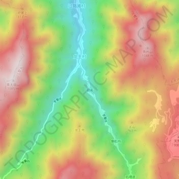
Name: 田湾 topographic map, elevation, terrain.
Location: 田湾, 上墅乡, 安吉县, 湖州市, 浙江省, 中国 (30.45811 119.54763 30.49811 119.58763)
Average elevation: 2,106 ft
Minimum elevation: 669 ft
Maximum elevation: 3,478 ft
Other topographic maps
Click on a map to view its topography, its elevation and its terrain.