
Ağırnas topographic map
Interactive map
Click on the map to display elevation.
About this map
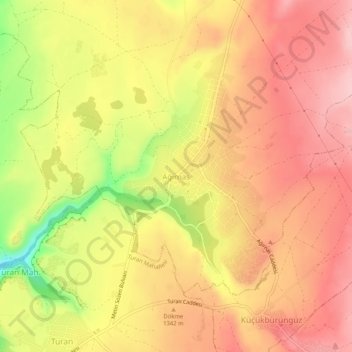
Name: Ağırnas topographic map, elevation, terrain.
Location: Ağırnas, Melikgazi, Central Anatolia Region, 38225, Turkey (38.79696 35.69736 38.83696 35.73736)
Average elevation: 4,367 ft
Minimum elevation: 4,003 ft
Maximum elevation: 4,570 ft