
Tavole topographic map
Interactive map
Click on the map to display elevation.
About this map
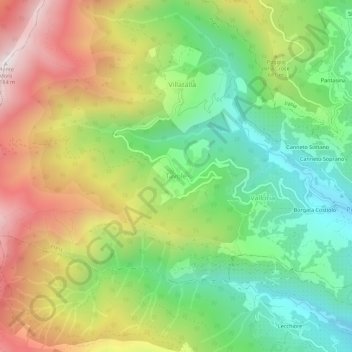
Name: Tavole topographic map, elevation, terrain.
Location: Tavole, Prelà, Provincia di Imperia, Liguria, 18020, Italy (43.91012 7.88827 43.95012 7.92827)
Average elevation: 1,883 ft
Minimum elevation: 482 ft
Maximum elevation: 3,802 ft