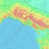
Liguria topographic maps
Click on a map to view its topography, its elevation and its terrain.
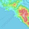
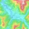
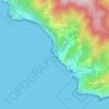


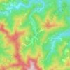



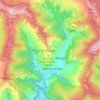

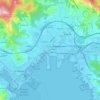
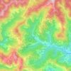
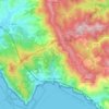
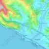
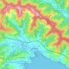
La Spezia
Because of its topography, the city is not exposed to winds from the north, which lap western Liguria, but to those from the southeast. These may bring heavy rain and they can reach 80 kilometres per hour (50 mph), in rare cases causing the blocking of the port. The only northern wind reaching the city is the…
Average elevation: 115 ft

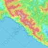
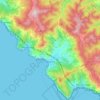
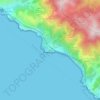
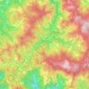
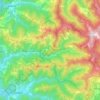
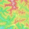
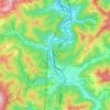
Cinque Terre
Italy > Liguria > La Spezia > Riomaggiore
The Cinque Terre National Park was established on 6 October 1999 in recognition of the territory's considerable scenic, agricultural, historical and cultural value. Two years before, the area was added to the list of World Heritage Sites. The five medieval towns along the Ligurian Coast provide scenic views of…
Average elevation: 650 ft


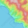

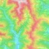








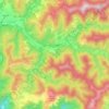
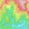
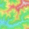
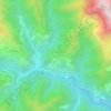
Ne
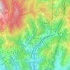
Ne stands for Nae, meaning "ship", and refers to the shape of Monte Zatta, the highest mountain of the area at an elevation of 1,404 metres (4,606 ft). It adjoins the valley of Graveglia, the ancient realm of Garibald, the king of the Lombards who fled from Lombardy in 673.
Average elevation: 1,798 ft
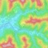








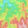
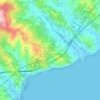
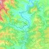
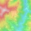
Caverna delle Arene Candide
Italy > Liguria > Savona > Finale Ligure > Finalborgo
Average elevation: 226 ft

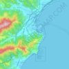
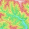
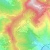
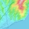
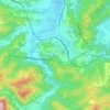

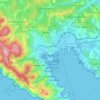
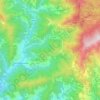
La Spezia
Because of its topography, the city is not exposed to winds from the north, which lap western Liguria, but to those from the southeast. These may bring heavy rain and they can reach 80 kilometres per hour (50 mph), in rare cases causing the blocking of the port. The only northern wind reaching the city is the…
Average elevation: 469 ft
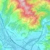
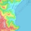



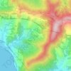
Bordighera
It is estimated that the previous day had been cloudy with rain, a shower followed by a thunderstorm the night, with long lightning bolts to the east and west, and an elevation of no less than 2500 feet.
Average elevation: 335 ft