
Aspenhoff topographic map
Interactive map
Click on the map to display elevation.
About this map
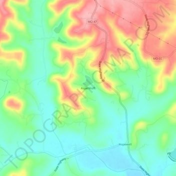
Name: Aspenhoff topographic map, elevation, terrain.
Location: Aspenhoff, Warren County, Missouri, États-Unis d'Amérique (38.68144 -91.17154 38.72144 -91.13154)
Average elevation: 669 ft
Minimum elevation: 502 ft
Maximum elevation: 909 ft