
Selma topographic map
Interactive map
Click on the map to display elevation.
About this map
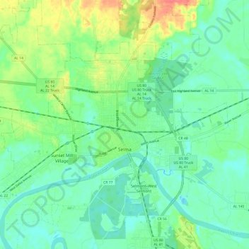
Name: Selma topographic map, elevation, terrain.
Location: Selma, Dallas County, Alabama, 36701, États-Unis d'Amérique (32.38416 -87.09109 32.45151 -86.97104)
Average elevation: 131 ft
Minimum elevation: 75 ft
Maximum elevation: 259 ft