Knight Lake topographic map
Interactive map
Click on the map to display elevation.
About this map
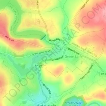
Name: Knight Lake topographic map, elevation, terrain.
Average elevation: 312 ft
Minimum elevation: 138 ft
Maximum elevation: 476 ft

Click on the map to display elevation.
Name: Knight Lake topographic map, elevation, terrain.
Average elevation: 312 ft
Minimum elevation: 138 ft
Maximum elevation: 476 ft