
Anreperdiep topographic map
Interactive map
Click on the map to display elevation.
About this map
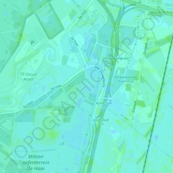
Name: Anreperdiep topographic map, elevation, terrain.
Location: Anreperdiep, Assen, Drenthe, Nederland, 9405TE, Nederland (52.95538 6.53869 52.96045 6.54130)
Average elevation: 43 ft
Minimum elevation: 33 ft
Maximum elevation: 52 ft
Other topographic maps
Click on a map to view its topography, its elevation and its terrain.