
Atpadi topographic map
Interactive map
Click on the map to display elevation.
About this map
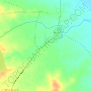
Name: Atpadi topographic map, elevation, terrain.
Location: Atpadi, Sangli district, Maharashtra, 415300, India (17.39700 74.91350 17.43700 74.95350)
Average elevation: 1,854 ft
Minimum elevation: 1,798 ft
Maximum elevation: 1,926 ft