
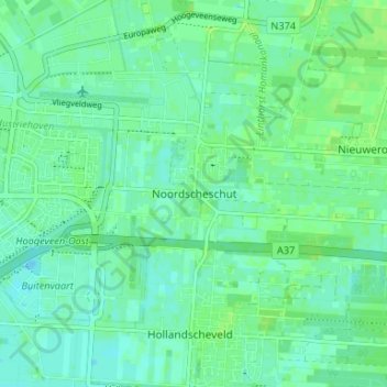
Noordscheschut topographic map
Interactive map
Click on the map to display elevation.
About this map
Name: Noordscheschut topographic map, elevation, terrain.
Location: Noordscheschut, Drenthe, Nederland, 7914, Nederland (52.70085 6.51451 52.74085 6.55451)
Average elevation: 46 ft
Minimum elevation: 30 ft
Maximum elevation: 56 ft
Other topographic maps
Click on a map to view its topography, its elevation and its terrain.
Noordscheschut
Nederland > Drenthe > Noordscheschut
Noordscheschut, Hoogeveen, Drenthe, Nederland
Average elevation: 46 ft