
Cousteumont topographic map
Interactive map
Click on the map to display elevation.
About this map
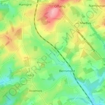
Name: Cousteumont topographic map, elevation, terrain.
Location: Cousteumont, Neufchâteau, Luxembourg, Wallonie, 6840, Belgique (49.79754 5.45251 49.83754 5.49251)
Average elevation: 1,457 ft
Minimum elevation: 1,293 ft
Maximum elevation: 1,699 ft