
Øverbygd topographic map
Interactive map
Click on the map to display elevation.
About this map
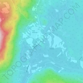
Name: Øverbygd topographic map, elevation, terrain.
Location: Øverbygd, Målselv, Troms og Finnmark, Norway (69.00435 19.27637 69.04435 19.31637)
Average elevation: 433 ft
Minimum elevation: 236 ft
Maximum elevation: 1,506 ft