
Vitarte topographic map
Interactive map
Click on the map to display elevation.
About this map
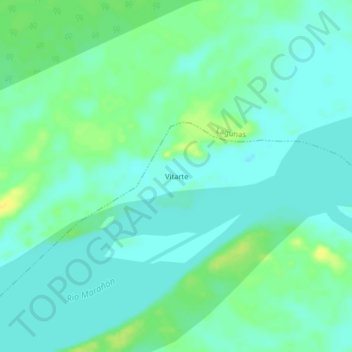
Name: Vitarte topographic map, elevation, terrain.
Location: Vitarte, Alto Amazonas, Loreto, Perú (-5.03909 -75.73401 -4.99909 -75.69401)
Average elevation: 381 ft
Minimum elevation: 358 ft
Maximum elevation: 427 ft