
Plean topographic map
Interactive map
Click on the map to display elevation.
About this map
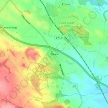
Name: Plean topographic map, elevation, terrain.
Location: Plean, Stirling, Scotland, FK7 8DA, United Kingdom (56.04526 -3.89544 56.08526 -3.85544)
Average elevation: 167 ft
Minimum elevation: 33 ft
Maximum elevation: 387 ft