
Dourbes topographic map
Interactive map
Click on the map to display elevation.
About this map
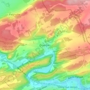
Name: Dourbes topographic map, elevation, terrain.
Location: Dourbes, Viroinval, Philippeville, Namen, Wallonië, 5670, België (50.07136 4.57145 50.11136 4.61145)
Average elevation: 682 ft
Minimum elevation: 440 ft
Maximum elevation: 912 ft