
Magura topographic map
Interactive map
Click on the map to display elevation.
About this map
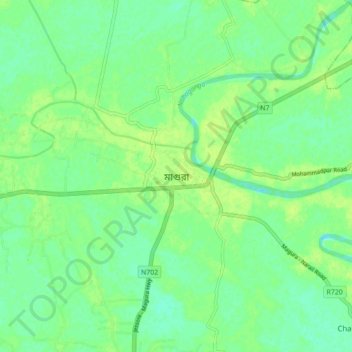
Name: Magura topographic map, elevation, terrain.
Location: Magura, Magura District, Khulna Division, Bangladesh (23.44833 89.38000 23.52833 89.46000)
Average elevation: 26 ft
Minimum elevation: 3 ft
Maximum elevation: 43 ft