
Plum Grove topographic map
Interactive map
Click on the map to display elevation.
About this map
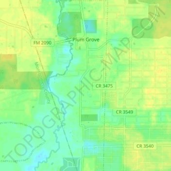
Name: Plum Grove topographic map, elevation, terrain.
Location: Plum Grove, Liberty County, Texas, Estados Unidos da América (30.17112 -95.10915 30.22748 -95.08658)
Average elevation: 102 ft
Minimum elevation: 69 ft
Maximum elevation: 131 ft