
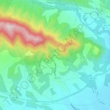
Ayesa topographic map
Interactive map
Click on the map to display elevation.
About this map
Name: Ayesa topographic map, elevation, terrain.
Location: Ayesa, Navarre, Spain (42.55110 -1.44148 42.59110 -1.40148)
Average elevation: 1,768 ft
Minimum elevation: 1,378 ft
Maximum elevation: 2,838 ft