
Cotes topographic map
Interactive map
Click on the map to display elevation.
About this map
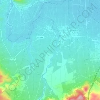
Name: Cotes topographic map, elevation, terrain.
Location: Cotes, la Ribera Alta, Valencia, Valencian Community, Spain (39.04560 -0.62879 39.07621 -0.56994)
Average elevation: 200 ft
Minimum elevation: 89 ft
Maximum elevation: 784 ft