
Hymiée topographic map
Interactive map
Click on the map to display elevation.
About this map
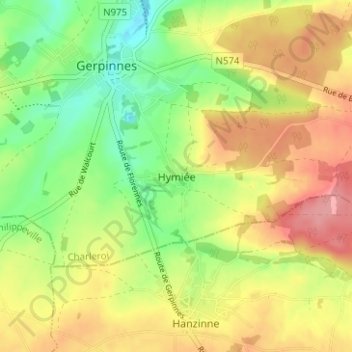
Name: Hymiée topographic map, elevation, terrain.
Location: Hymiée, Gerpinnes, Charleroi, Hainaut, Wallonie, 6280, Belgique (50.30516 4.52014 50.34516 4.56014)
Average elevation: 722 ft
Minimum elevation: 561 ft
Maximum elevation: 886 ft