
Kewaunee topographic map
Interactive map
Click on the map to display elevation.
About this map
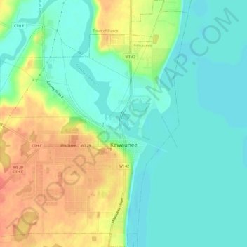
Name: Kewaunee topographic map, elevation, terrain.
Location: Kewaunee, Kewaunee County, Wisconsin, United States (44.44157 -87.53207 44.48220 -87.48825)
Average elevation: 617 ft
Minimum elevation: 554 ft
Maximum elevation: 725 ft