
Graysville topographic map
Interactive map
Click on the map to display elevation.
About this map
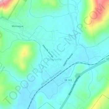
Name: Graysville topographic map, elevation, terrain.
Location: Graysville, Rhea County, Tennessee, United States of America (35.43913 -85.09427 35.45757 -85.05509)
Average elevation: 850 ft
Minimum elevation: 692 ft
Maximum elevation: 1,476 ft